The Four Plates Each one true. None of them complete.
There is no vantage from which the Scales can be taken in, so the city is known by four views that have never been reconciled.
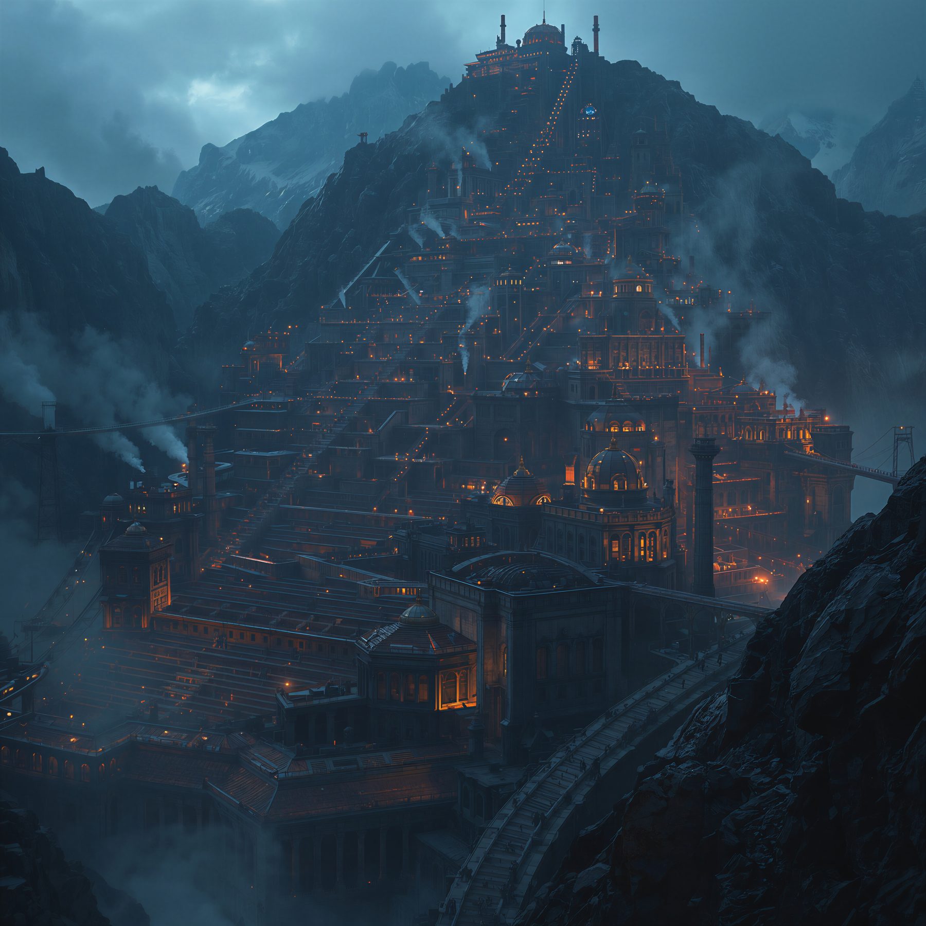
The facing ridge
Terraces and the funicular spine, straight up the front of the mountain to the summit works. The most reproduced view in the world and the one every visitor arrives expecting.
It shows the city as a stair — which flatters the engineering and hides the workings entirely.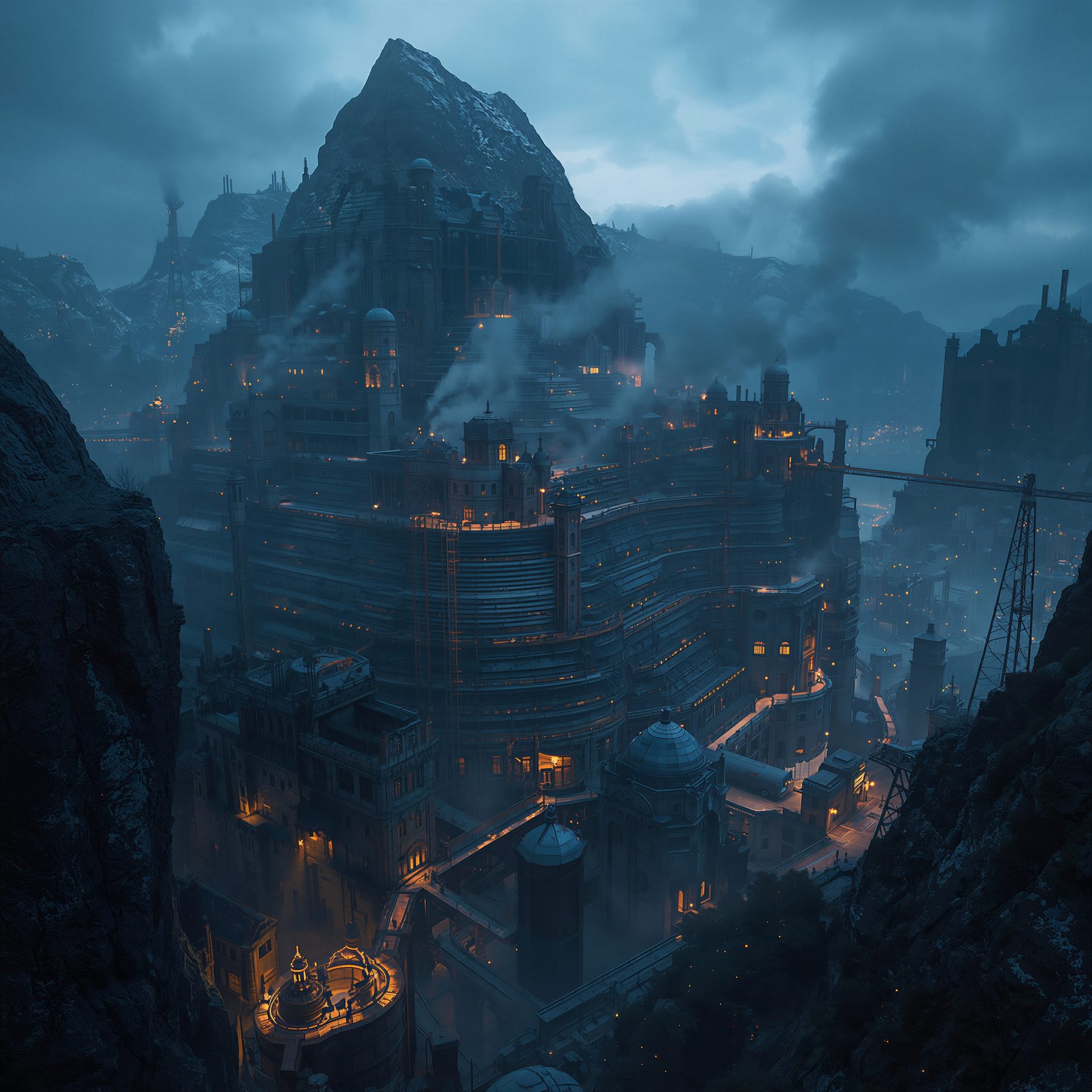
The high notch
The highest station, looking down. Snow on the summit, the contour terraces wrapping the mass, the city trailing away into weather.
It flatters the mountain. From up there the Scales looks like something built on a peak rather than something eating one.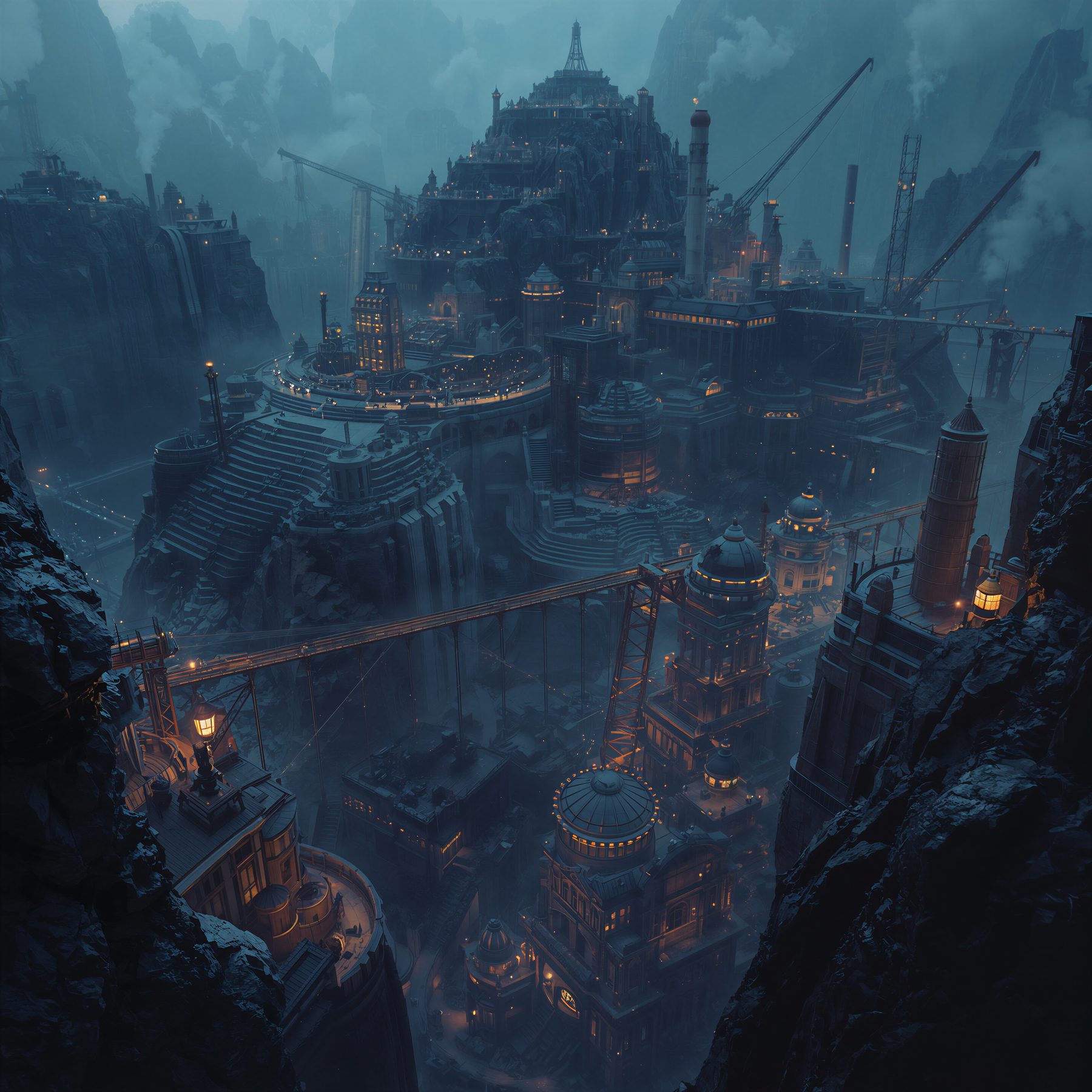
The shoulder
Cranes, gantries, chimneys, the long span across the cut, and the tiered plaza with people standing at the balustrade watching the work.
The only accepted view in which the city is visibly industrial — and the assay houses prefer it for exactly that reason.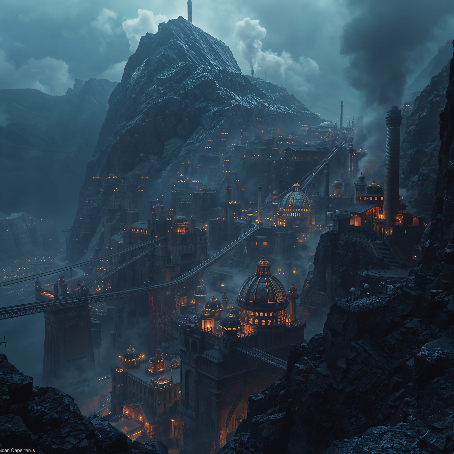
Across the ravine
Lowest and closest. The great domes lit from within, the viaduct running out west, and the peak standing over all of it in the dark.
The most honest of the four, and it still shows perhaps a third of the place.Why there is no fifth
The mountain occludes itself. The spoil aprons run out of sight behind ridges, the workings are hidden from below, the base is hidden from above, and the interior appears nowhere at all. A station is accepted not because it is good but because there is somewhere to stand.
Along the north and the east, and only there. Two plates overlapping is the whole of the common ground.
They were not made at the same time, and the subject moves. A survey from the shoulder taken forty years ago is a survey of a mountain that is no longer that shape.
A real and respected profession in the Scales, with no agreed result in three hundred years, and its practitioners are unbothered by this.
Out of true — the same phrase as a mountain out of balance and a society coming apart. They are not being poetic.
The south-west flank appears on no plate at all — and it is the flank the city is walking towards. Everyone in the Scales knows the direction of travel. Nobody has an accepted picture of the ground it is travelling onto.
The only complete image
It exists, and it is not on paper. The Craft hold it, they hold one for every city, and the transcription in this record is a sketch of a memory rather than a survey.
An assay plate shows you what can be seen. A Craft map shows you what cannot — which is the only part of a city worth knowing if your work is to move through it unnoticed.
How a station gets accepted
[proposed] Not by decree. A station becomes accepted by accumulation: enough surveyors work from it, enough plates are cut from it, and eventually the view has a name and a number and an argument attached to it.
Which is the same mechanism as a name — the Scales settles things by letting them build up until removing them would be more work than keeping them. There has been no fifth station in a century and a half, and nobody has ever forbidden one.
Open: whether an accepted station can be lost when the ground it stands on is cut away, and what happens to its plates if so.
What the images are, out here
These four are the Leonardo renders from the project folder, kept in the wiki as the canonical look of the city — the colour rule, the palette and the night-and-brass treatment all derive from them.
Inside the world they are plates: cut, printed, sold, argued over and hung in offices. Outside it they are the reference the rest of the record is drawn to match, which is why every diagram in this wiki uses their ground and their brass.
A fifth image, short-measure-earlier.jpg, sits in the same folder and shows the Short Measure three generations ago.
Type
Plate
four images · one city
Status
Canon
Related
Open on this plate
- Whether a station can be lost
- What the composite-makers are called
- The mountain's pre-charter name